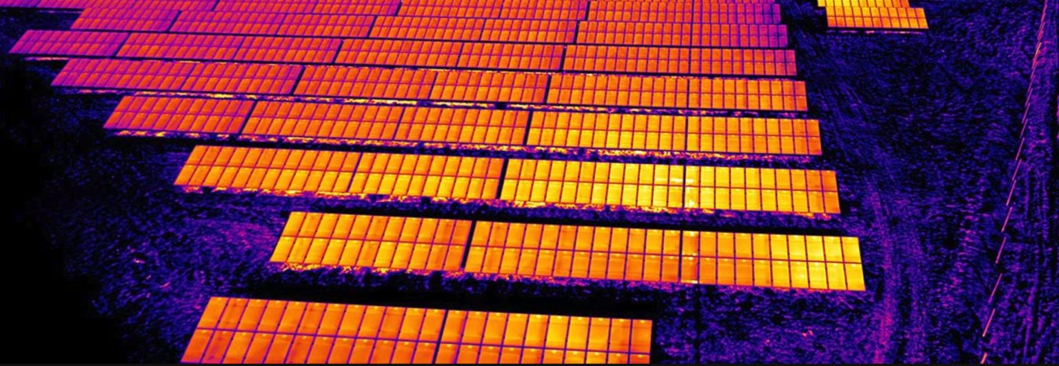
Utility-scale solar plants
Hot cells, open strings, failed bypass diodes and soiling, each anomaly mapped and classified.

We find the faults you cannot see: hot cells, failed strings, heat loss and overheating components. Level 2 certified thermographers (UNI EN ISO 9712), radiometric 640×512 cameras and RTK positioning, with reports ready for maintenance, warranty claims and insurers.
We reply within 24 hours.
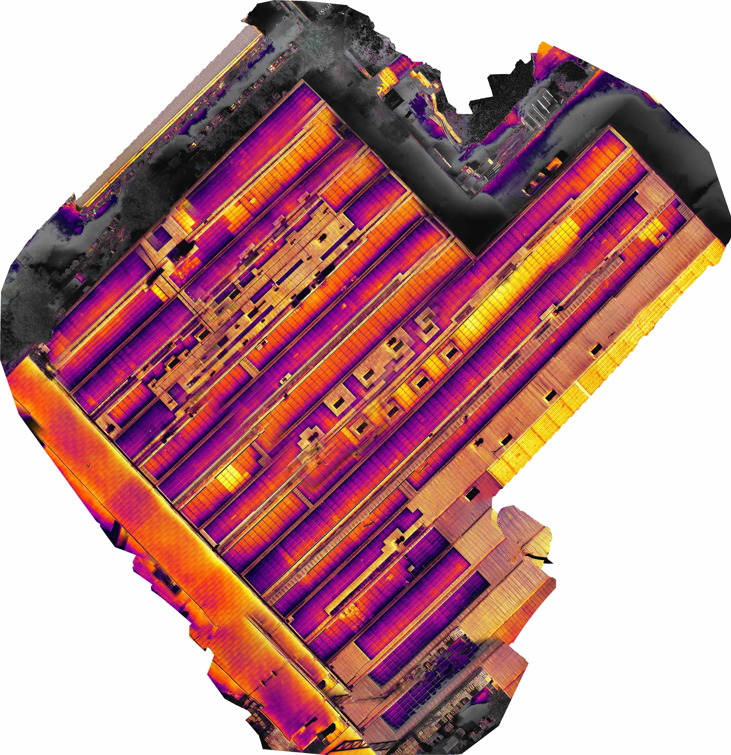
Hot cells, open strings, failed bypass diodes and soiling, each anomaly mapped and classified.
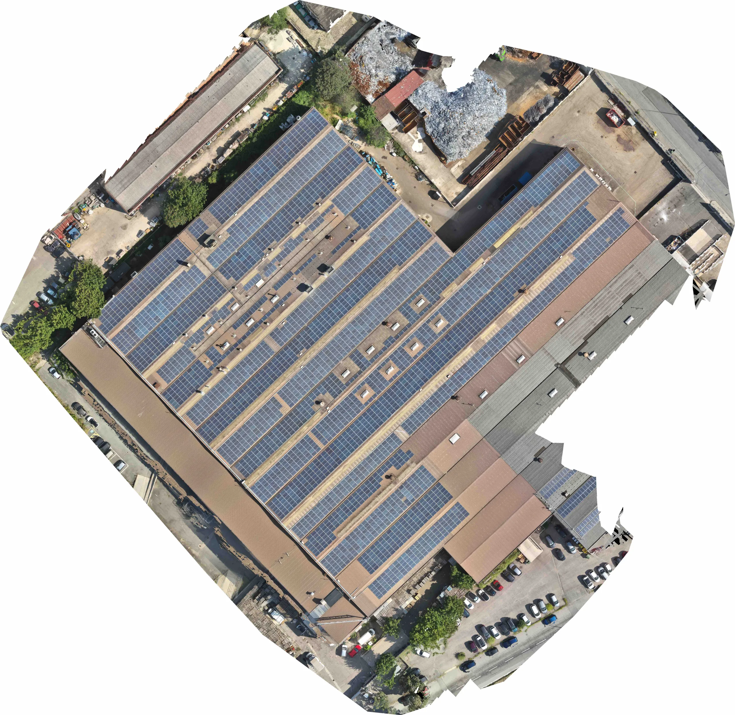
RGB and thermal orthomosaics of the whole roof, for maintenance, insurance and disputes.
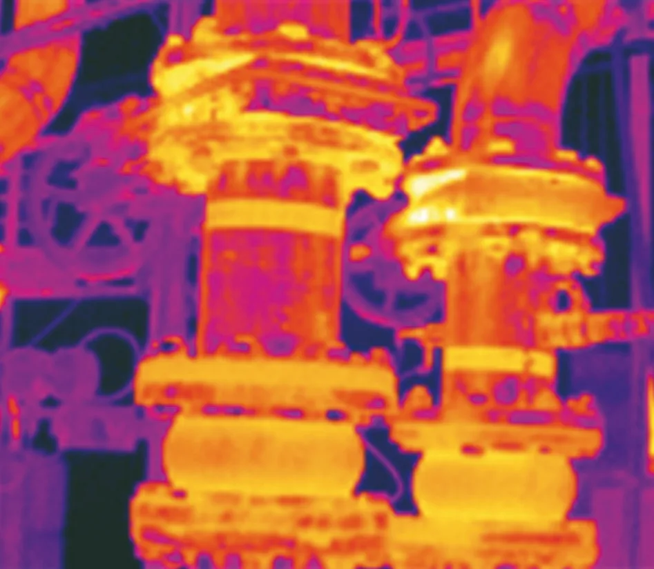
Pipes, insulation and hot flows checked at close range without stopping production.
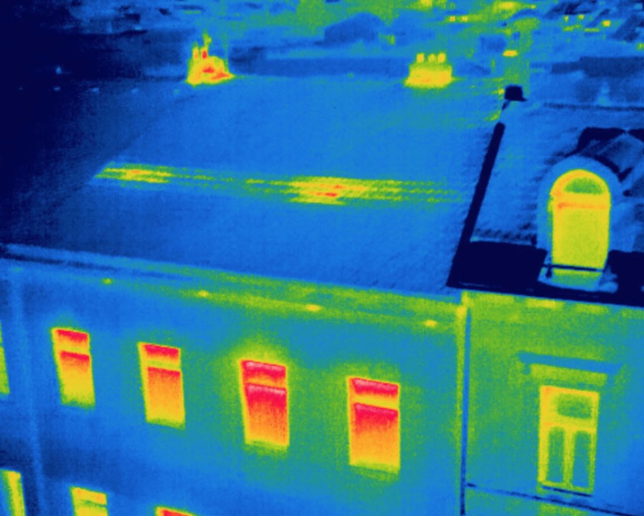
Thermal maps of roofs, walls and windows to improve energy efficiency.
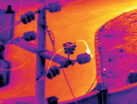
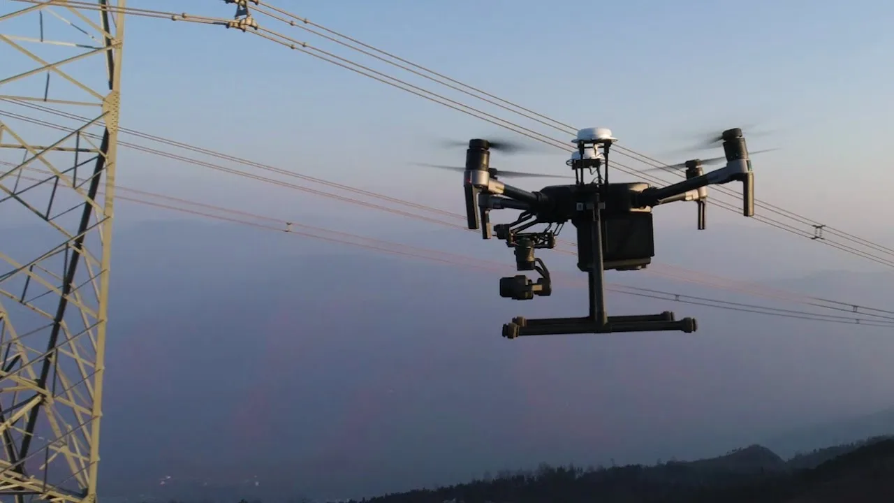
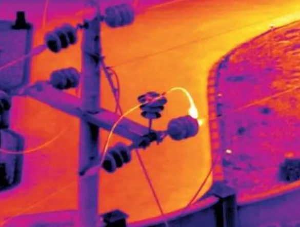
Hot joints and overheating insulators on pylons, detected safely from the air.
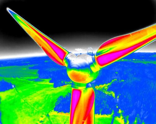
Abnormal heating spotted early to plan maintenance.
A solar plant can lose output for months before anyone notices. A radiometric thermal survey measures the temperature of every module: hot spots, inactive strings, diode failures, cracked cells and soiling stand out immediately. Because each pixel carries a calibrated temperature, results can be compared over time and used in warranty claims.
We fly in stable sunshine with the plant in production (irradiance and wind conditions matter), capture georeferenced thermal and RGB images at low height and build orthomosaics of the whole site. Analysis is carried out by Level 2 certified thermographers, supported by AI tools for large plants, and summarised in a report structured according to IEC TS 62446-3.
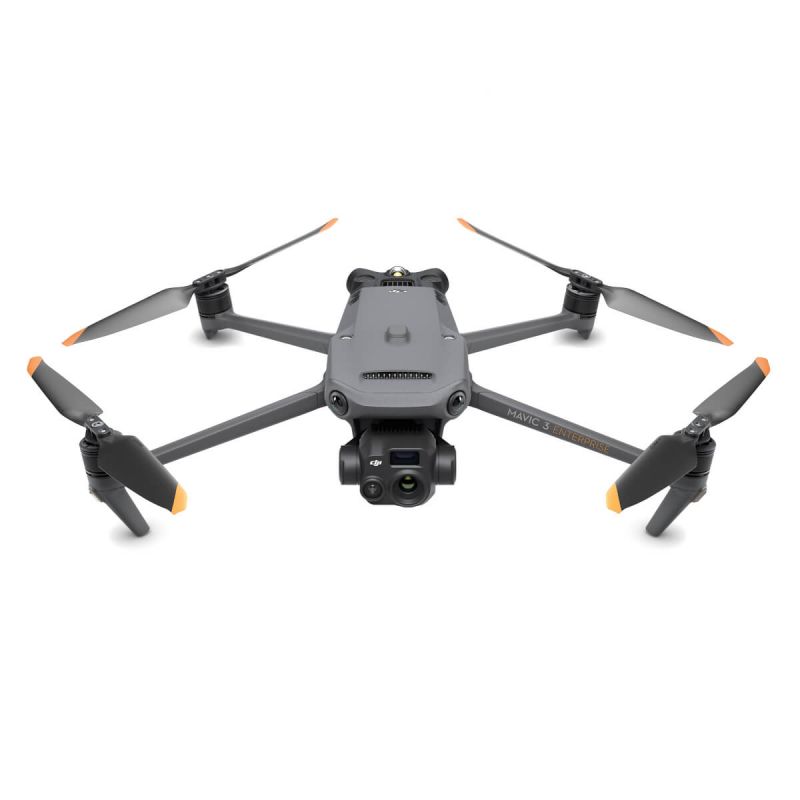 DJI Mavic 3TRadiometric thermal camera for thermography and inspections
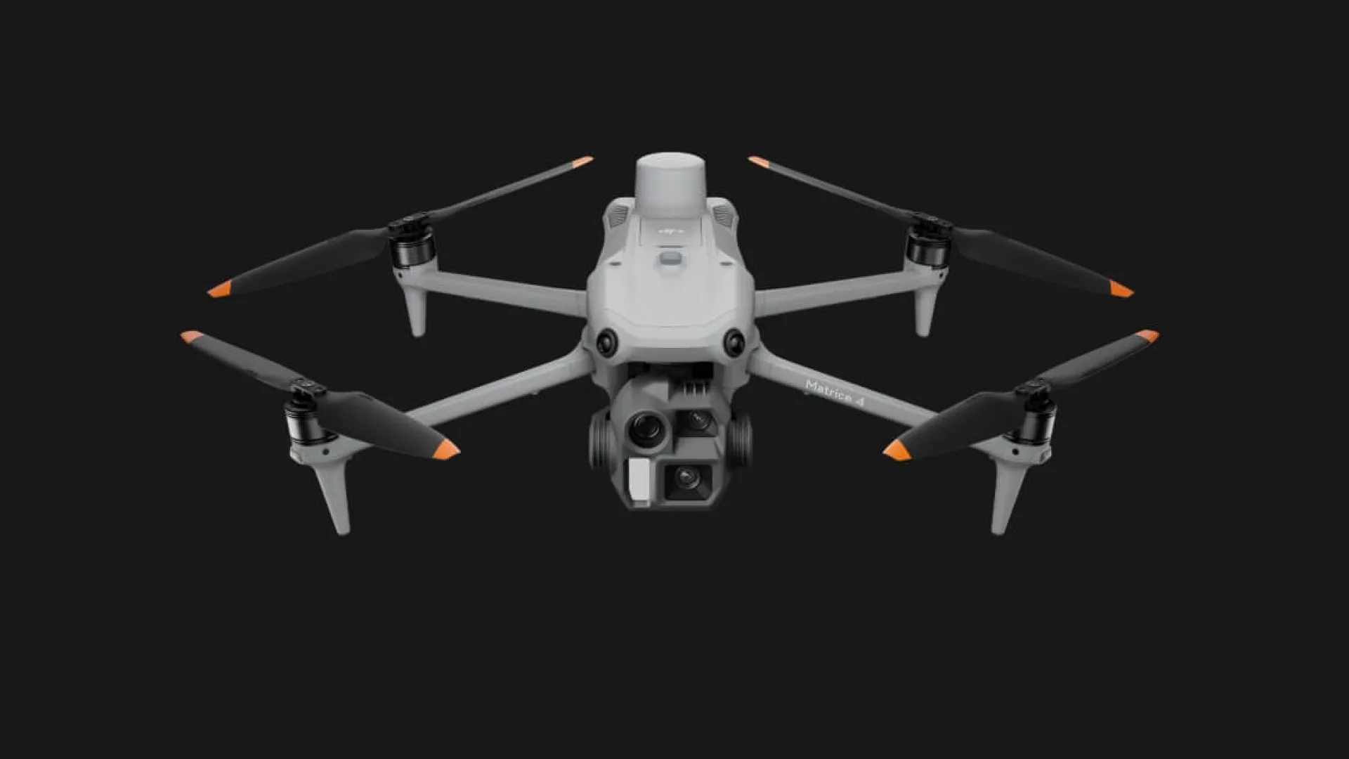 DJI Matrice 4Precision surveys and inspections with RTK
Need to fly near an airport? In the red zones near Italian airports only class C5 drones with parachute and flight termination system may fly. We have them in our fleet, request the permits from ENAC and ENAV and always inform the Local Police and the Prefecture.
Check your locationThey can fly the most demanding European standard scenarios, including in towns and near people, with full safety procedures.

Every job follows written, audited procedures, from quote to delivery. Flights insured up to €2 million.









Reviews from our Facebook page.
“great pictures, good guys”
 Stephen LeyvaFacebook review
“high-end UAV service: see you soon”
 George QuirozFacebook review
“professionisti, molto attenti alla sicurezza. Bravi”
 Samuel McCloskeyFacebook review
“a great partner for UAV activities in Italy”
 John PascualFacebook review
“great aerials”
 Thomas NavarroFacebook review
“Great job, thank you”
 Zachary BalesFacebook review
“Siete i numeri uno nelle riprese aeree!”
 Matthew BryantFacebook review
“Next time, Freefly!”
 Roger BurkhartFacebook review
“Non è una questione di droni, ma di professionalità. Bella realtà.”
 Edwin CottonFacebook review
“Si lavora bene con loro, bravi.”
 Kenneth CessnaFacebook review
With strong, stable sunshine and the plant in production, usually from spring to late summer around midday. We tell you the right window for your site.
Thermographers certified to UNI EN ISO 9712 Level 2, with AI software to speed up large solar plants.
PV reports are structured according to IEC TS 62446-3, the reference for outdoor infrared thermography of photovoltaic modules and plants.
Almost always for professional work. Italy publishes its drone geographical zones on D-Flight, the official portal: airports, heliports, military areas, parks and sensitive sites. Outside the Open category, and inside most of these zones, you need an authorisation or an airspace reservation (ENAC procedure ATM-09A). We check the exact spot, file the requests and always inform the Local Police and the Prefecture, so the shoot is not stopped halfway.
Yes: heat loss, thermal bridges, pipes, power lines and wind turbines.
Within 24 hours, with a proposal and a realistic timeline for permits.
Leggi questa pagina in italiano: versione italiana.
Tell us where and when: we reply within 24 hours with a proposal and the timing for permits.
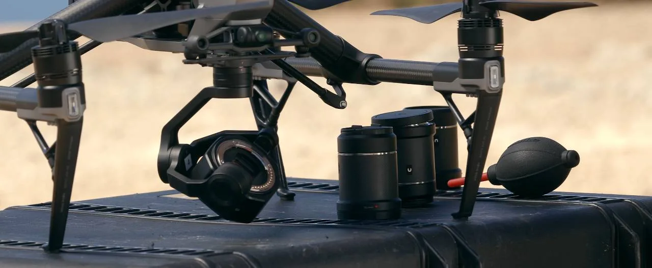 Riprese aeree e videoSpot, eventi, TV e cinema fino a 8K
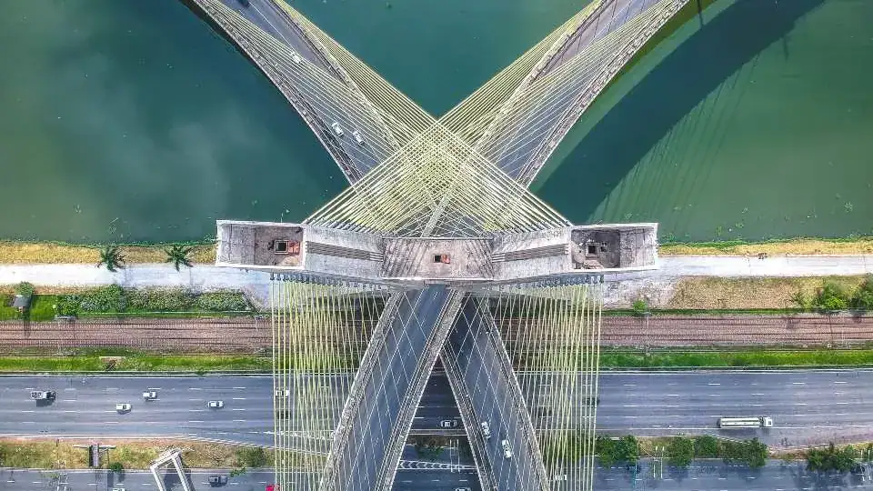
 Ispezioni con droneTetti, ponti, ciminiere e impianti
 TermografiaFotovoltaico, coperture, impianti
 Rilievi e fotogrammetriaOrtofoto, modelli 3D e volumi
 Rilievi LiDARIl terreno anche sotto gli alberi
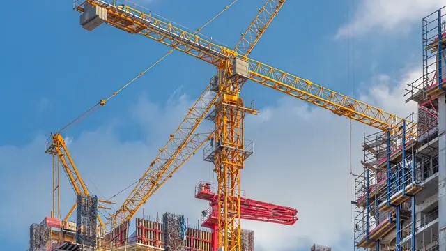 Timelapse di cantiereIl video dell’avanzamento lavori
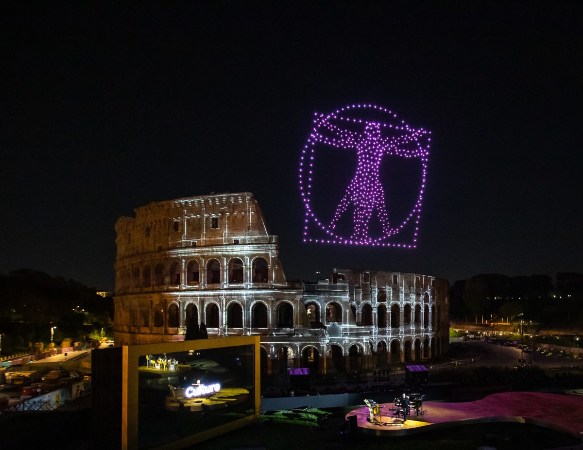 Spettacoli con droniIl tuo logo disegnato nel cielo
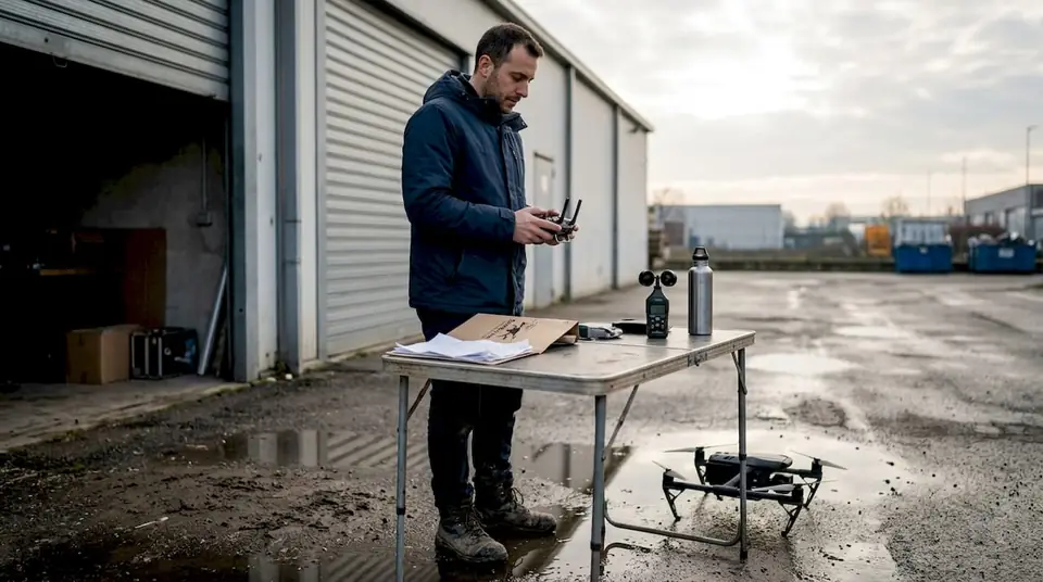 Noleggio con pilotaDrone, pilota e permessi inclusi
