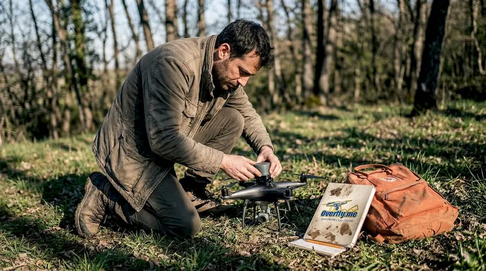
Forests and vegetated areas
Terrain models (DTM) where photogrammetry cannot see the ground.

LiDAR pulses pass through foliage and reach the ground: you get centimetre-level DTMs and DSMs even in forests, along river banks and on steep terrain. We have flown LiDAR since 2021, today with the DJI Matrice 400 and the Zenmuse L2 sensor.
We reply within 24 hours.
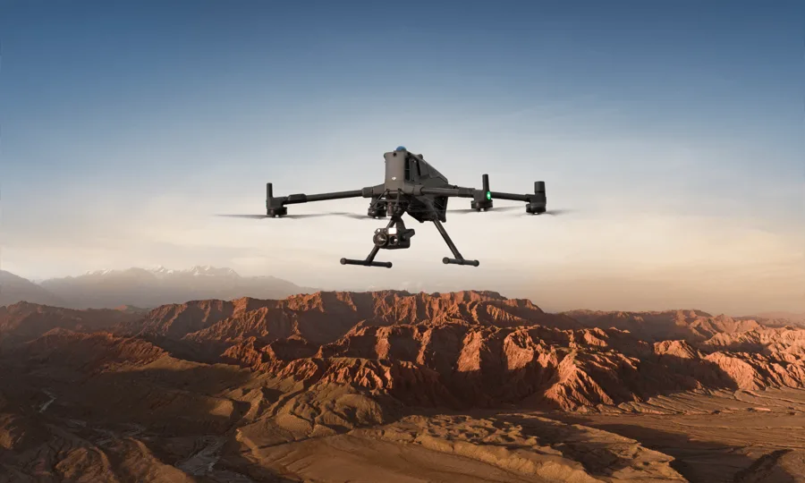
Terrain models (DTM) where photogrammetry cannot see the ground.

Conductors, pylons, nearby vegetation and ground features captured in a single flight.

Infrastructure surveys, also in hard-to-reach places, ready for BIM modelling.

Dense point clouds for design, BIM and quality control on site.

Fast elevation data to study hydrogeological risk.
Slope and excavation monitoring with comparisons over time.
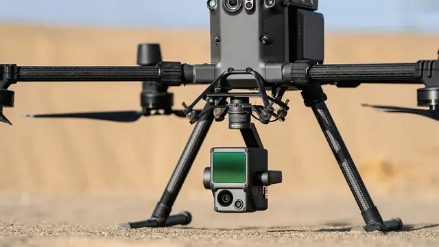
The Zenmuse L2 combines a laser scanner, an inertial unit and an RGB camera. Several returns per pulse let the sensor record the canopy, the branches and, crucially, the ground beneath. After the flight we process trajectories with RTK/PPK corrections, classify the point cloud (ground, vegetation, buildings, wires) and derive the products you need.
LiDAR drones are heavier than camera drones: in urban areas the flight needs a controlled ground area and the right authorisations. We assess the scenario and handle the paperwork.
DJI Matrice 400 + Zenmuse L2LiDAR surveys: the ground even under vegetation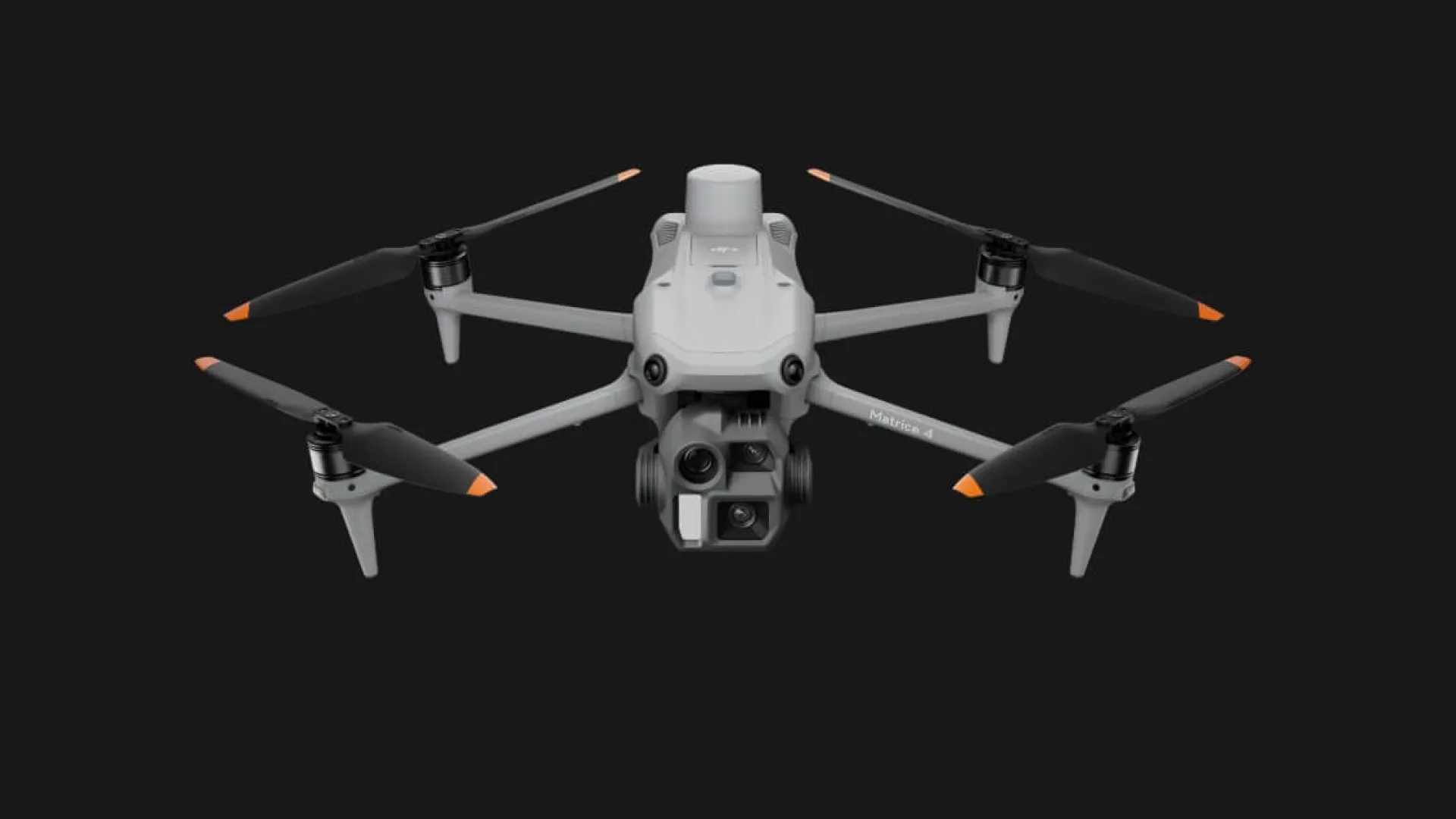 DJI Matrice 4Precision surveys and inspections with RTK
Need to fly near an airport? In the red zones near Italian airports only class C5 drones with parachute and flight termination system may fly. We have them in our fleet, request the permits from ENAC and ENAV and always inform the Local Police and the Prefecture.
Check your locationThey can fly the most demanding European standard scenarios, including in towns and near people, with full safety procedures.

Every job follows written, audited procedures, from quote to delivery. Flights insured up to €2 million.











Reviews from our Facebook page.
“great pictures, good guys”
 Stephen LeyvaFacebook review
“high-end UAV service: see you soon”
 George QuirozFacebook review
“professionisti, molto attenti alla sicurezza. Bravi”
 Samuel McCloskeyFacebook review
“a great partner for UAV activities in Italy”
 John PascualFacebook review
“great aerials”
 Thomas NavarroFacebook review
“Great job, thank you”
 Zachary BalesFacebook review
“Siete i numeri uno nelle riprese aeree!”
 Matthew BryantFacebook review
“Next time, Freefly!”
 Roger BurkhartFacebook review
“Non è una questione di droni, ma di professionalità. Bella realtà.”
 Edwin CottonFacebook review
“Si lavora bene con loro, bravi.”
 Kenneth CessnaFacebook review
Yes: part of the laser pulses passes through gaps in the foliage and reaches the ground, so a terrain model can be produced even in woodland.
With the Zenmuse L2, RTK corrections and ground control points accuracy is at centimetre level.
Classified point cloud (LAS/LAZ), DTM, DSM, contour lines and, if needed, a colour orthophoto.
The LiDAR drone is heavier than small camera drones: in urban areas we need a controlled ground area and the right permits. We assess the scenario for you.
Almost always for professional work. Italy publishes its drone geographical zones on D-Flight, the official portal: airports, heliports, military areas, parks and sensitive sites. Outside the Open category, and inside most of these zones, you need an authorisation or an airspace reservation (ENAC procedure ATM-09A). We check the exact spot, file the requests and always inform the Local Police and the Prefecture, so the shoot is not stopped halfway.
Within 24 hours, with a proposal and a realistic timeline for permits.
Leggi questa pagina in italiano: versione italiana.
Tell us where and when: we reply within 24 hours with a proposal and the timing for permits.
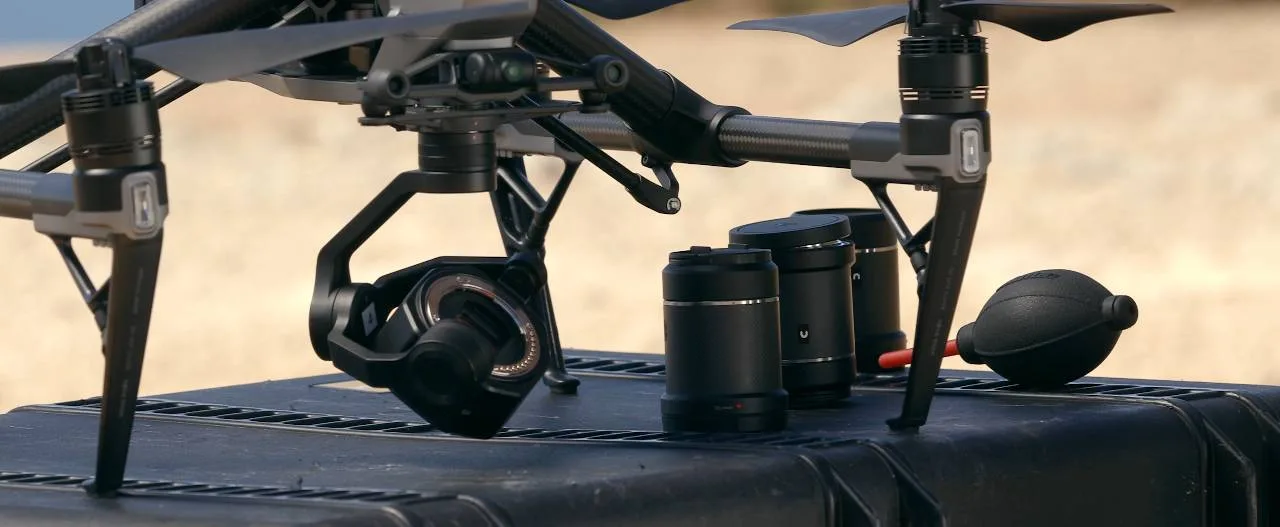 Riprese aeree e videoSpot, eventi, TV e cinema fino a 8K
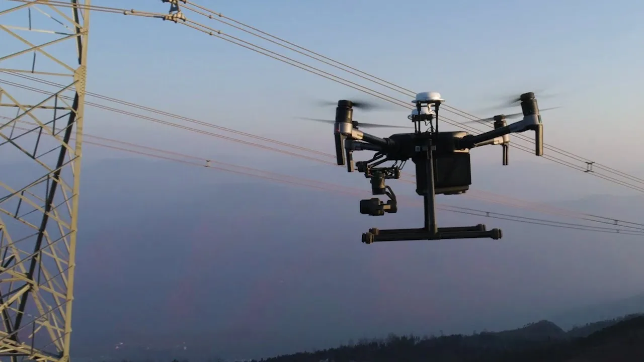 Ispezioni con droneTetti, ponti, ciminiere e impianti
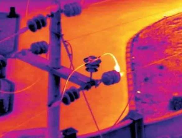 TermografiaFotovoltaico, coperture, impianti
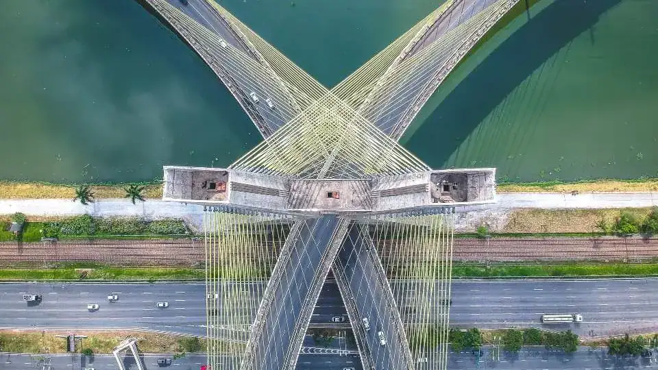 Rilievi e fotogrammetriaOrtofoto, modelli 3D e volumiRilievi LiDARIl terreno anche sotto gli alberi
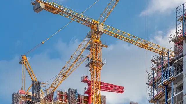 Timelapse di cantiereIl video dell’avanzamento lavori
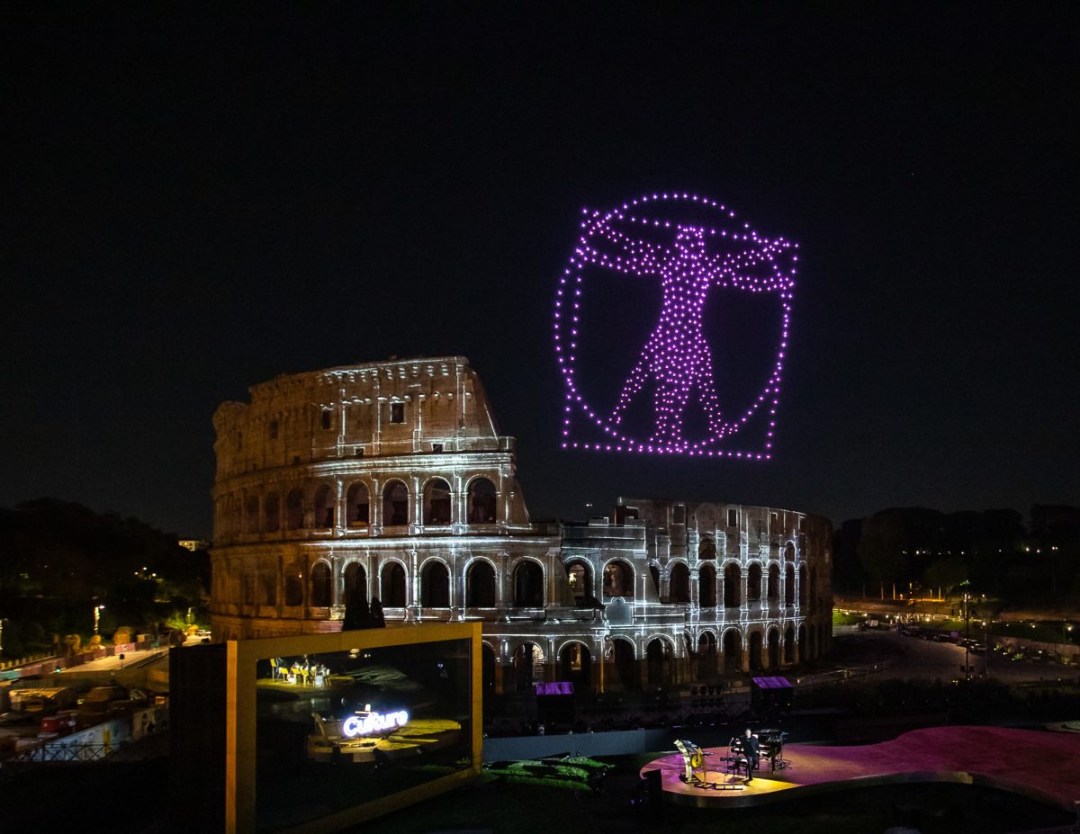 Spettacoli con droniIl tuo logo disegnato nel cielo
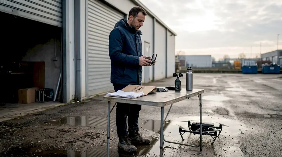 Noleggio con pilotaDrone, pilota e permessi inclusi
