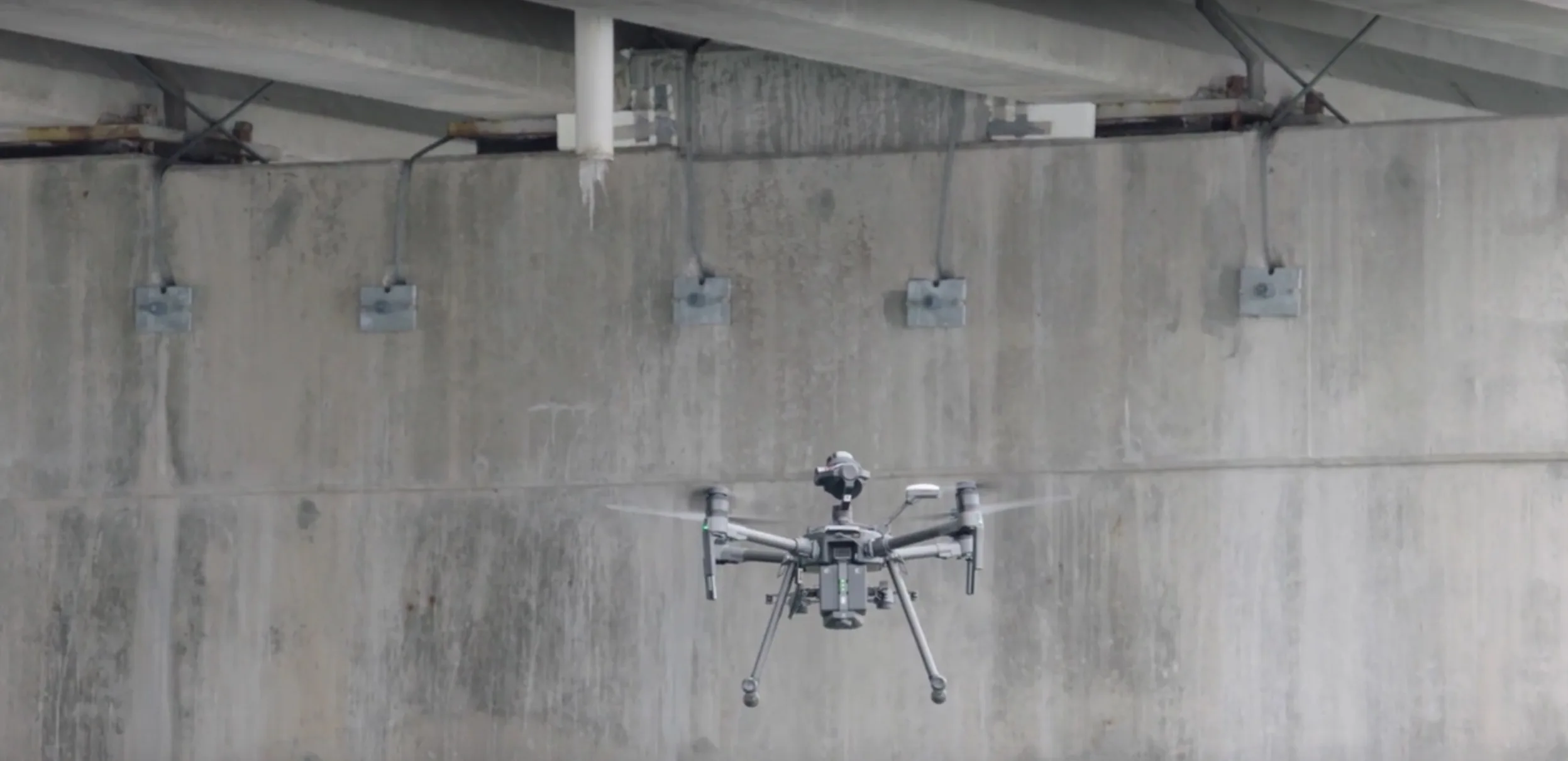
Bridges and viaducts
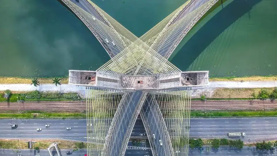
Piers, decks and bearings checked from below and from the sides, usually without closing the road.

We look closely at what is hard or dangerous to reach, without scaffolding, cranes or rope access: up to 48 MP stills, 6K video, thermal imaging and 3D models. Since 2014 for utilities, public bodies, engineers and insurers across Italy.
We reply within 24 hours.
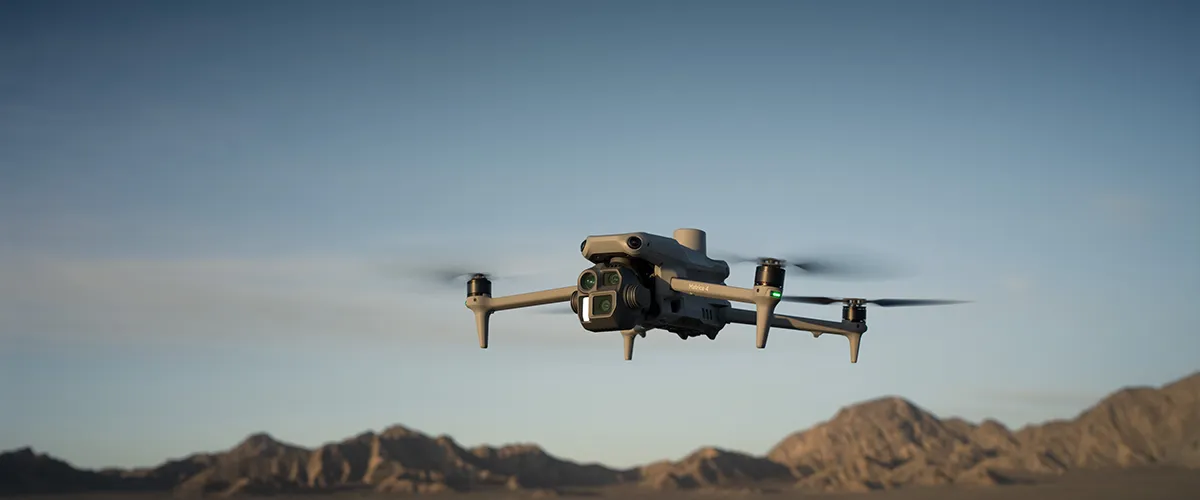
Piers, decks and bearings checked from below and from the sides, usually without closing the road.

Culverts, ducts, silos and tanks inspected with caged drones and their own lighting, without sending people inside.
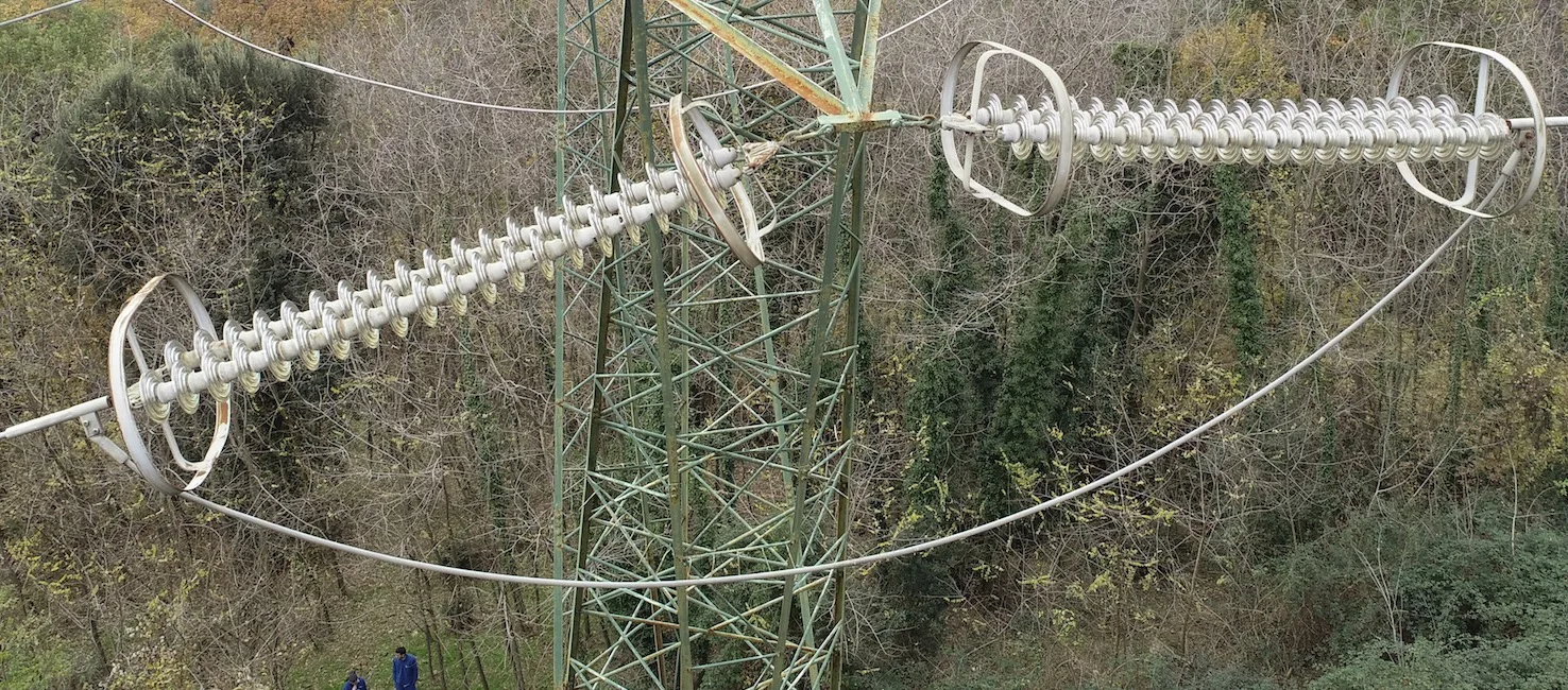
Pylons, insulators, spacers and telecom towers inspected at close range, also with thermal cameras.
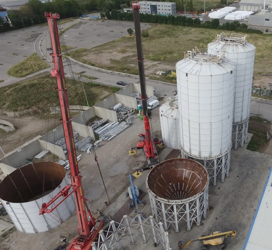
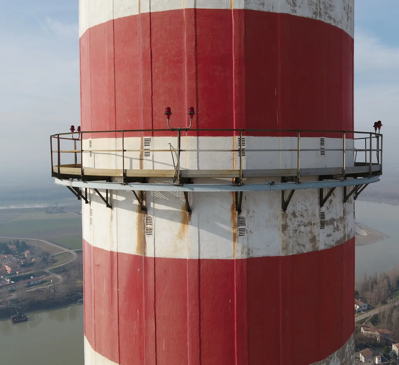
Stacks, tanks and tall structures, with 3D models to plan maintenance.
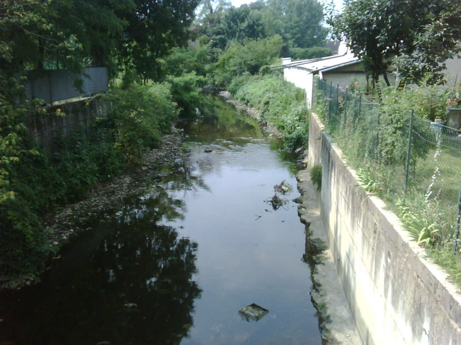
Kilometres of banks and outfalls mapped quickly, even in urban areas.
Facades, domes and bell towers documented at high resolution for restoration and insurance.
An inspection is only as good as the data you can act on. Every job ends with georeferenced photos and video, a report that locates and describes each defect (cracks, spalling, corrosion, loose elements, water ingress, hot spots) and, when useful, a 3D model or an orthophoto of the asset. Files are organised so your engineers can find each image from the map.
Culverts, penstocks, silos and tanks are among the most dangerous places to send a person. Our confined-space drones are protected by a cage, carry their own lights and can fly where GPS does not reach. For flooded ducts we also use a small floating drone. Inspections are planned with the site’s safety manager, in line with Italian workplace safety law (Legislative Decree 81/2008 and Presidential Decree 177/2011).
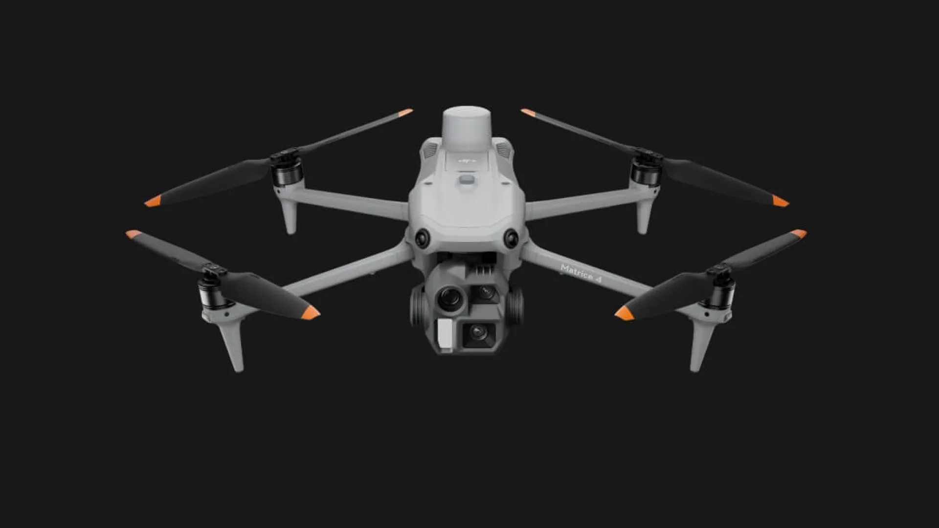 DJI Matrice 4Precision surveys and inspections with RTK
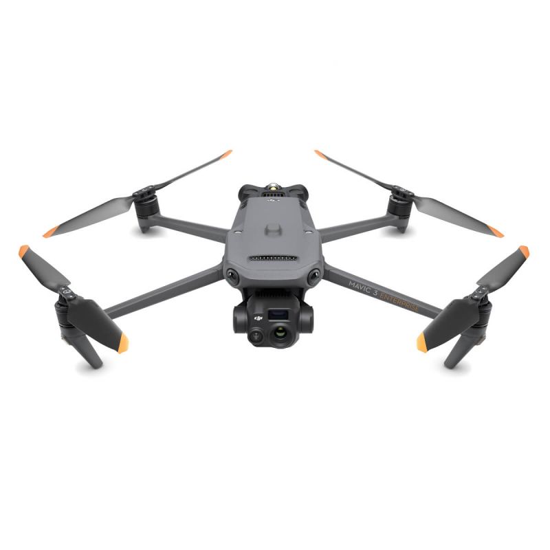 DJI Mavic 3TRadiometric thermal camera for thermography and inspections
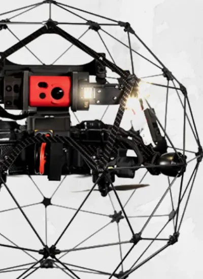 Flyability Elios 2Caged drone for tanks, silos and ducts
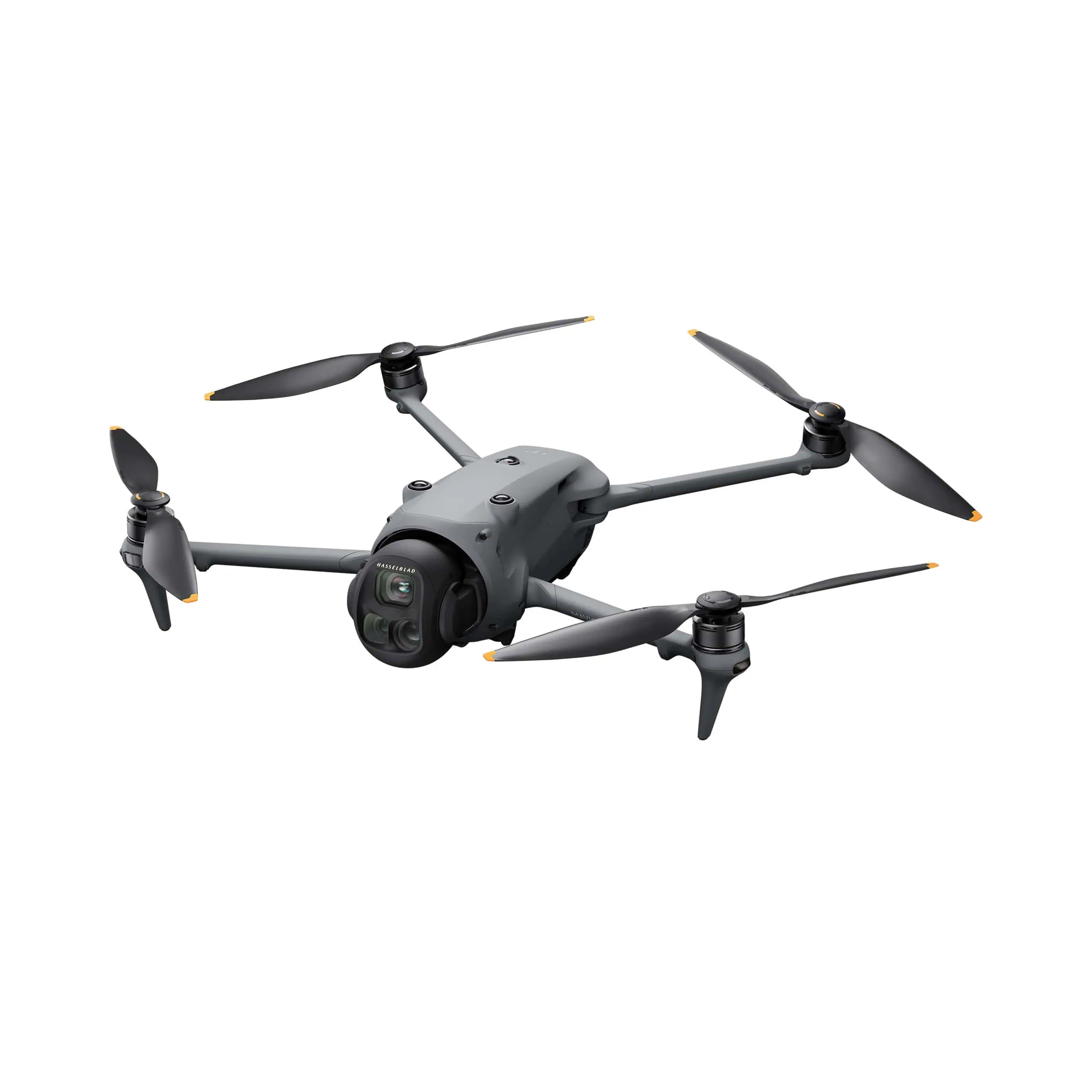 DJI Mavic 4 ProProfessional photo and video, light and fast
Need to fly near an airport? In the red zones near Italian airports only class C5 drones with parachute and flight termination system may fly. We have them in our fleet, request the permits from ENAC and ENAV and always inform the Local Police and the Prefecture.
Check your locationThey can fly the most demanding European standard scenarios, including in towns and near people, with full safety procedures.

Every job follows written, audited procedures, from quote to delivery. Flights insured up to €2 million.










Reviews from our Facebook page.
“great pictures, good guys”
 Stephen LeyvaFacebook review
“high-end UAV service: see you soon”
 George QuirozFacebook review
“professionisti, molto attenti alla sicurezza. Bravi”
 Samuel McCloskeyFacebook review
“a great partner for UAV activities in Italy”
 John PascualFacebook review
“great aerials”
 Thomas NavarroFacebook review
“Great job, thank you”
 Zachary BalesFacebook review
“Siete i numeri uno nelle riprese aeree!”
 Matthew BryantFacebook review
“Next time, Freefly!”
 Roger BurkhartFacebook review
“Non è una questione di droni, ma di professionalità. Bella realtà.”
 Edwin CottonFacebook review
“Si lavora bene con loro, bravi.”
 Kenneth CessnaFacebook review
Cracks, spalling, rust, water ingress, broken elements and heat anomalies. Photos reach 48 MP and video 6K, with zoom up to 48x, so details are visible from a safe distance.
Yes, with caged drones that carry their own lights and, for flooded ducts, a floating drone. Nobody needs to enter the confined space.
Rarely. The drone works from a distance and quickly; we agree any safety measure with you in advance.
Almost always for professional work. Italy publishes its drone geographical zones on D-Flight, the official portal: airports, heliports, military areas, parks and sensitive sites. Outside the Open category, and inside most of these zones, you need an authorisation or an airspace reservation (ENAC procedure ATM-09A). We check the exact spot, file the requests and always inform the Local Police and the Prefecture, so the shoot is not stopped halfway.
Georeferenced photos and video, a report locating each critical point and, when useful, a 3D model or a thermal map.
Within 24 hours, with a proposal and a realistic timeline for permits.
Leggi questa pagina in italiano: versione italiana.
Tell us where and when: we reply within 24 hours with a proposal and the timing for permits.
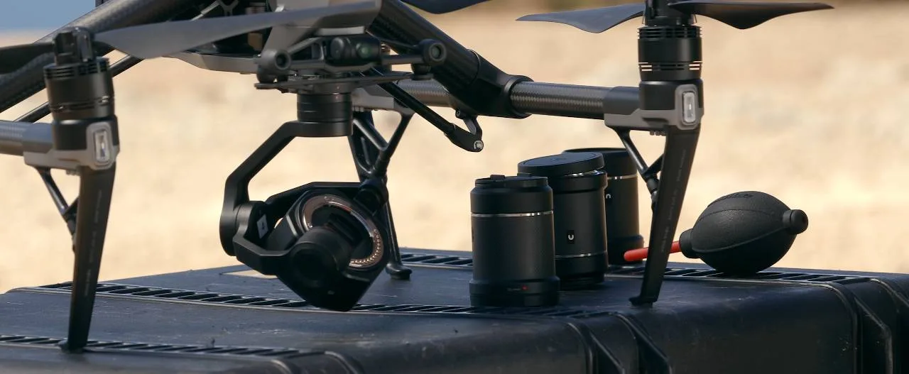 Riprese aeree e videoSpot, eventi, TV e cinema fino a 8K
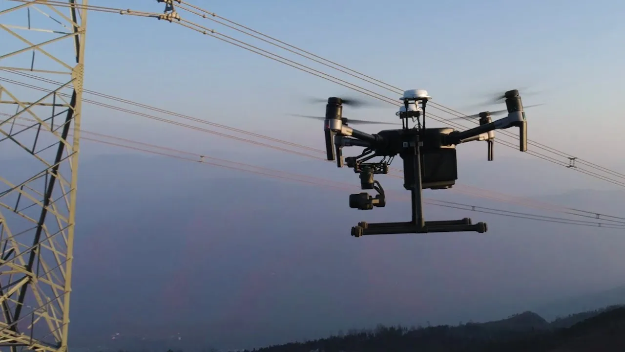 Ispezioni con droneTetti, ponti, ciminiere e impianti
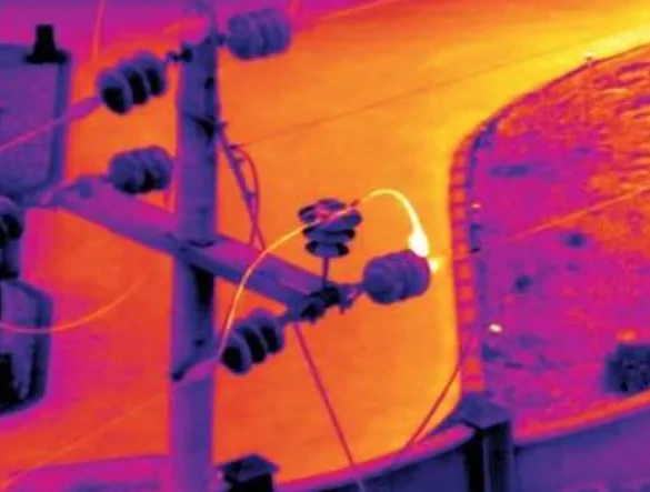 TermografiaFotovoltaico, coperture, impianti
 Rilievi e fotogrammetriaOrtofoto, modelli 3D e volumi
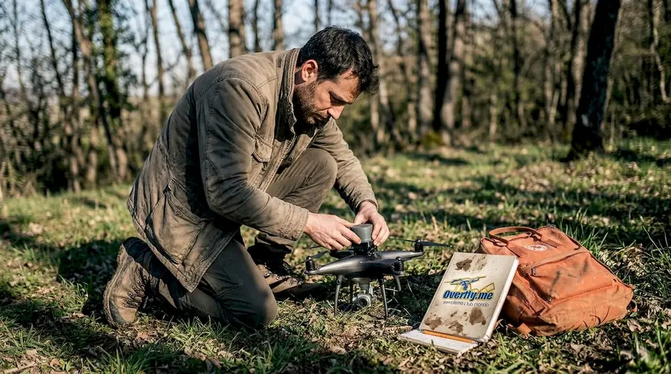 Rilievi LiDARIl terreno anche sotto gli alberi
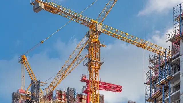 Timelapse di cantiereIl video dell’avanzamento lavori
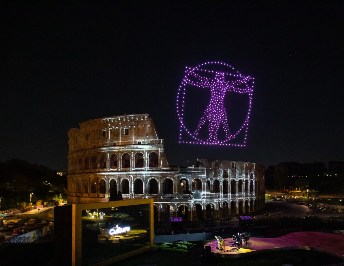 Spettacoli con droniIl tuo logo disegnato nel cielo
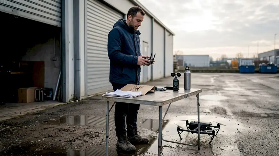 Noleggio con pilotaDrone, pilota e permessi inclusi
